Premium
Why Nairobi Dam is a ticking time bomb
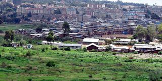

The beehive of activity around the hyacinth-covered Nairobi Dam paints a picture of the difficult path ahead of the evictions planned by the Water Resources Authority. Looking down from a vantage point, one can see the sheer number of lives woven into the riparian land, making it clear that any attempt to restore the dam will be a monumental struggle for the county government.
In the weeks since the eviction warning from Nairobi Governor Johnson Sakaja, a visit to the site reflects a reality that is far more grounded in survival. Within the dam’s boundaries, farmers have carved out small plots to plant arrowroots, providing a source of livelihood and food for nearby settlements.
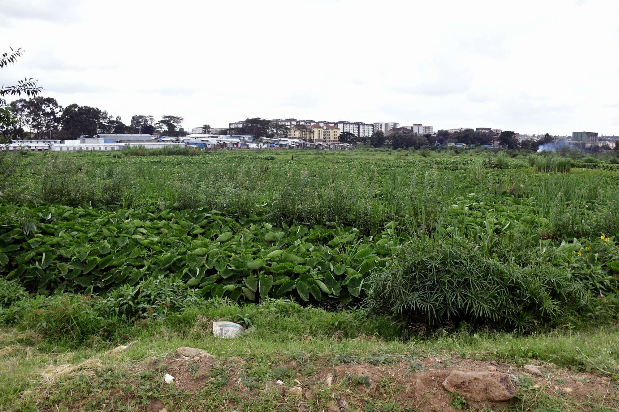
The farmers move with practised ease across the floating silt, a stick in hand as they navigate the dam to till the land and earn an income by selling the arrowroots. From a bird’s-eye view, children are playing on an area where the silt has formed a crust of dry land reclaiming the edges of the dam, waiting for their parents who are working the land.
Eveline Anyango, a mother who lives in Mugumoine in Lang’ata, a slum that has formed at the side of the dam, says she is yet to recover from the last time they were evicted from the riparian land.
“I remember the last time they came in 2024. We had been told they would come on a Monday. I went to church, and when I came back, they had flattened our houses. Everything was gone; I could not save a single thing,” says Ms Anyango.
She chose to move to the other side of the dam in Mugumoine, where she thought it was safer. She, however, says the area chief has not yet ordered them to evacuate.
“The people who live in parts of Undugu have been told to move. On our side, no one has told us anything yet. I do not have an issue with moving, but how do we leave without funds to help us settle? That money can help me get a good place for my family,” says Ms Anyango.
Ms Anyango says squatting on the land has given her and her children a roof over their heads. Without a source of income, leaving without any compensation would be troublesome for her.
A few kilometres away, Ms Ann Natasha, a mother who moved into a tin house less than five metres from one corner of the dam a month ago, says she has nowhere to go.
“Since I moved here, I have never seen water creep into my house. They now say we should move. I do not know where to go with my children. Even if they give me money, I would have moved to the upper side, but even there, there are rumours that they will flatten houses,” says Ms Natasha.
Speaking during a recent TV interview on Fixing the Nation, Architect Mumo Musuva who serves in the Nairobi Rivers Commission (NRC), said the 350,000 square meters of a dam with a capacity of 98,000 cubic meters is a ticking time bomb. According to Musuva, the dam, constructed in 1953, started to deteriorate after the El Nino rains of 1998, which caused heavy siltation. Because of poor maintenance, the dam is now degraded and a safety risk.
“The floods caused heavy siltation and, because the dam was not being maintained, it led to severe degradation. The dam is currently showing signs of hydraulic failure. Its structure and function are no longer what they were designed for,” says Architect Musuva.
Musuva explained that the dam is now in a state of hydraulic failure, where it has lost its capacity to hold water. “Because the basin is choked with silt, we are seeing overtopping, a dangerous scenario where floodwaters bypass the designated spillway and instead pour directly over the earthen wall. As this water rushes over the top, it acts like a giant pressure washer, rapidly eroding the embankment that protects thousands of homes below,” says Mr Musuva.
1. Overtopping
The primary spillway is severely obstructed. During extreme downpours, water levels surpass the emergency crest, triggering rapid erosion on the downstream slope.
2. Spillway Fatigue
Fatigue combined with hydraulic pressure could lead to an uncontrolled release of the entire reservoir.
3. Siltation Crisis
Sediment accumulation has significantly reduced depth. There is currently no flood absorption buffer left in the system.
4. Water Hyacinth
This plant material restricts water circulation and blocks the natural inflow/outflow, impacting the dam's function as a storage reservoir.
A walk around the dam shows that the government has already flattened some makeshift houses next to Highrise Estate, which is adjacent to the dam. Squatters had encroached on the land and built makeshift structures, leaving a small pathway as the only entry in and out of the settlement.
In parts of Undugu Estate, which sit on the dam’s outskirts, residents living less than five metres from the dam go about their daily activities, seemingly oblivious to the impending danger. A keen look reveals only children playing unsupervised, as parents are away at work to fend for them.
An encounter with Silas Magero, who has lived his entire life around the banks of the dam and may be affected by the planned eviction, reveals that the rains are not a concern for him.
“The rains are always there and we are used to them. There is no danger. Water gets into our houses during that time, but afterwards, it just goes,” says Mr Magero.
He says that it has been close to four years since heavy rains hit the area and that they have learned to live with the situation.
“This is our home and we are used to it. However, if Governor Sakaja gives us money for those within the five-metre radius he talked about, then we will gladly leave,” adds Mr Magero.
Louis Dimore, alias Tunya, who lives slightly further away from the dam, pleads with the government to restrict the eviction to just five metres from the water body and not exceed that distance. He warns that moving beyond this would render youths who are now landlords without income.
“We accept what the governor said. You see, I am a landlord here and I have peace with everyone. Sakaja is for the youths; he should also let us continue earning. I am even fixing a gate for my tenants. Imagine me going back upcountry. Let it not be 30 metres as people say,” says Dimore, pointing to his houses.
The 25-year-old says that he was raised in the area and has a deep connection to it, having created many memories in that part of the city. He disclosed that he lost his brother in the dam. The brother had gone missing for about a week, was later found dead in the waters, and was laid to rest at the nearby Lang’ata Cemetery.
Juma Saina, who would also be affected by the move, says that there have been threats issued to them that their houses would be flattened without any assistance to help them relocate.
“I paid someone for me to get a place where I have now set up my house. So people coming at night and saying they will flatten our houses is not good. The governor should be considerate as he promised,” says Mr Saina.
Despite the pleas, the government remains focused on its directive to vacate the area. According to architect Musuva, this decision is not born out of malice but out of an engineering necessity to secure the city’s future.
“We are at a point where the dam is no longer just a water resource, but a failed structure that poses a risk to the very people living on its banks. We cannot ignore the signs of hydraulic failure any longer. Restoration is the only way to ensure the dam acts as a buffer again rather than a threat. It is a painful process for the residents, but the reality is that the dam wall is reaching its breaking point, and we must act before nature does it for us,” Architect Musuva said.
Modeling a Nairobi Dam Breach
The visualization below simulates how gradual water rise, could begin to consume critical residential infrastructure in the red zone in case of a potential dam breach.
Nairobi Dam
While developers are lobbying for the dam to be decommissioned to free up prime real estate, Musuva warns that this would be disastrous. Without the dam to attenuate floodwaters, residents of Nairobi West and South C would face even more devastating floods as the city's natural buffer disappears.
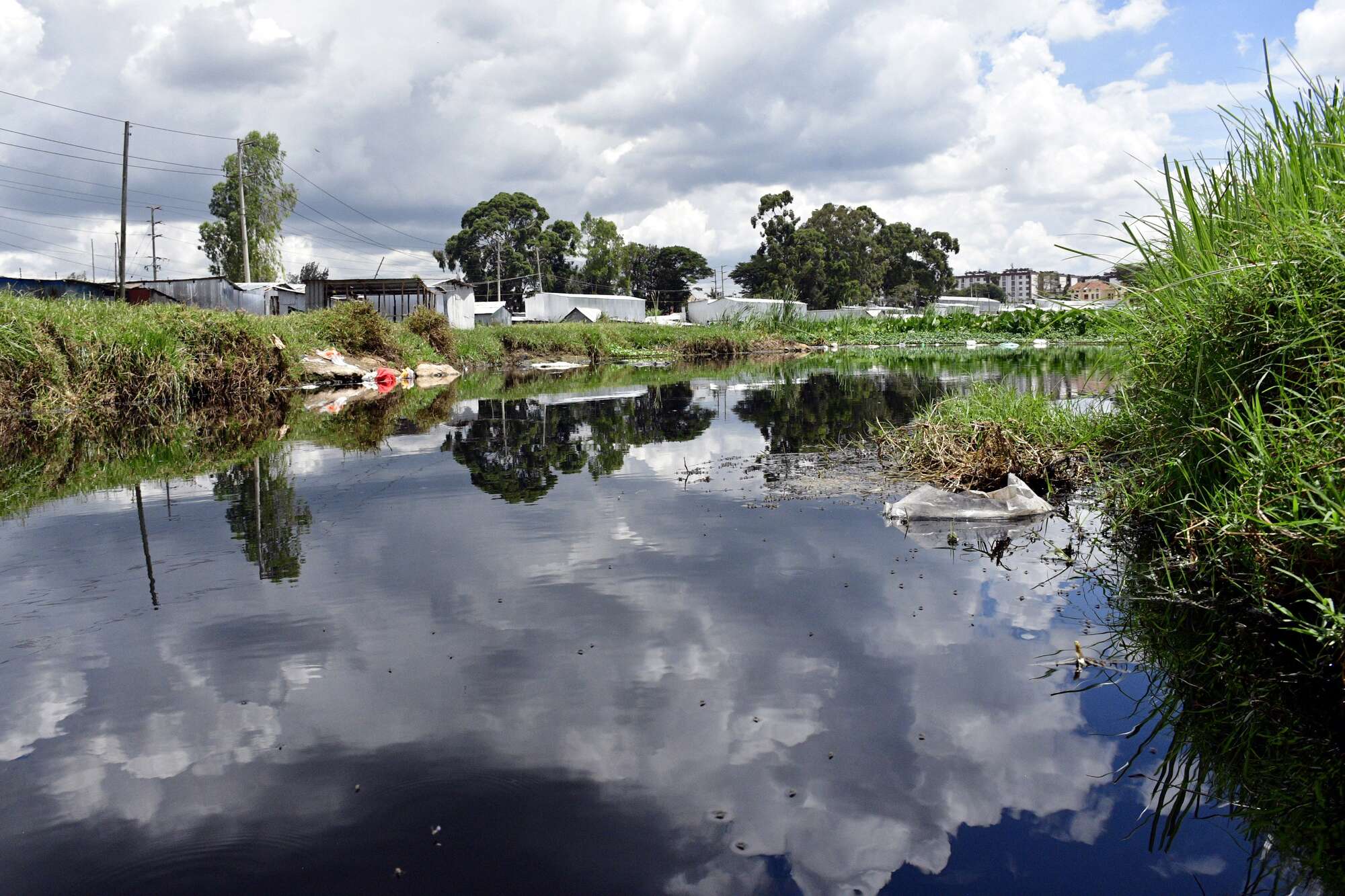
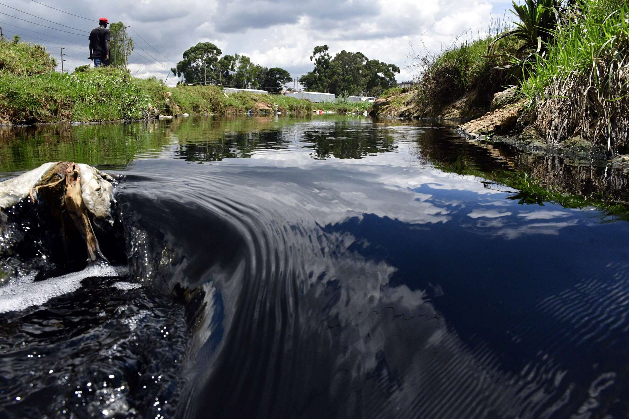
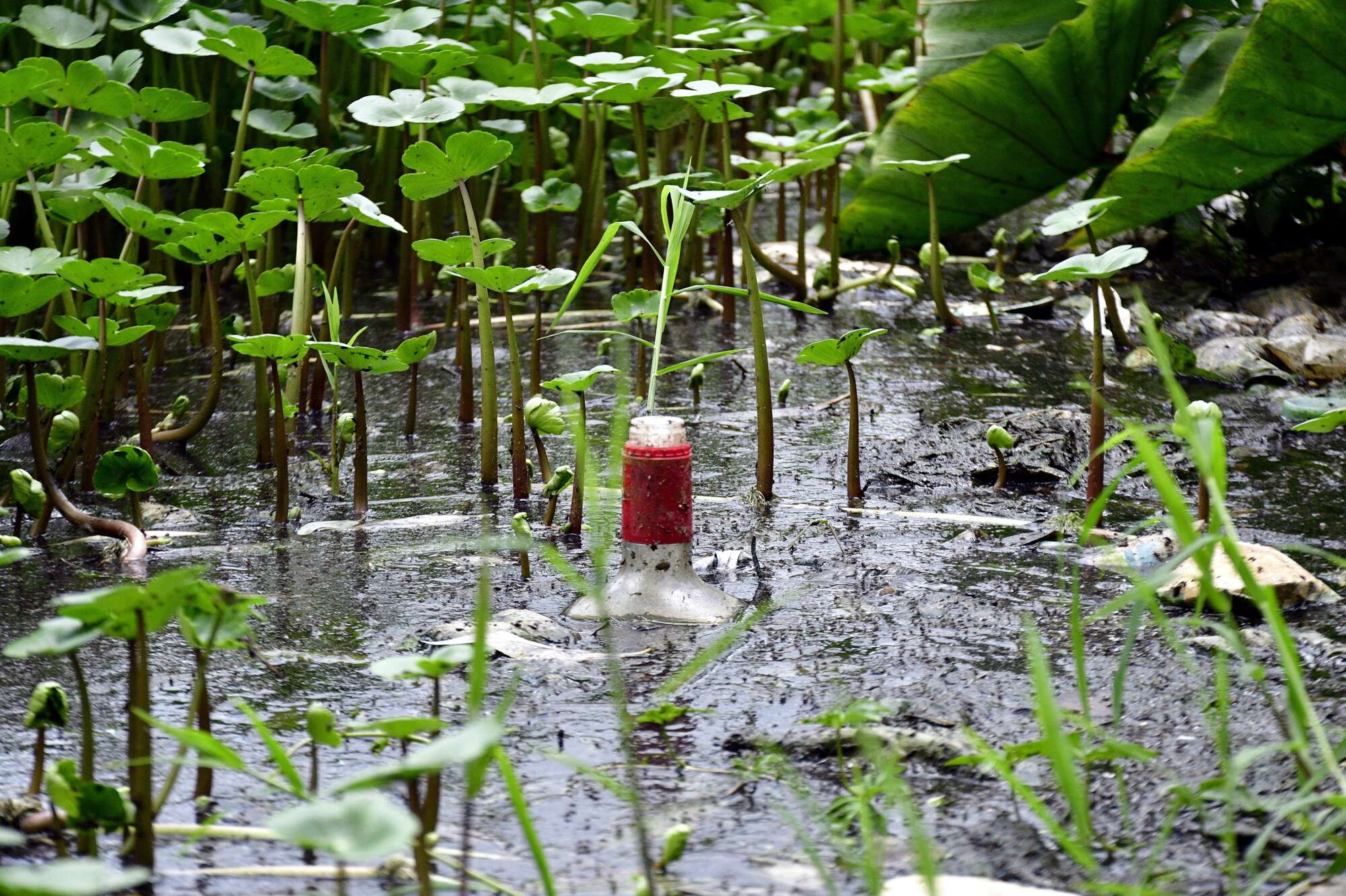
The troubles are partially due to human activity that has turned the water resource into a septic tank. “The dam has essentially become a large septic tank, leading to the growth of water hyacinth and altered water characteristics due to high nutrient levels. People have encroached to the point where they have built structures on floating masses of earth above the dam, a problem that has persisted for nearly 20 years,” says Musuva.
The immediate priority is a forced retreat from the red flag zones, including the encroached settlements at the dam's toe, followed by an emergency reconstruction of the silted spillways.
“Areas we are concerned about include the bottom end of Mbagathi Road past the Administration Police area, sections of Nyayo Highrise, and the structures sitting precariously at the toe of the dam,” said Musuva.